 Climaviso
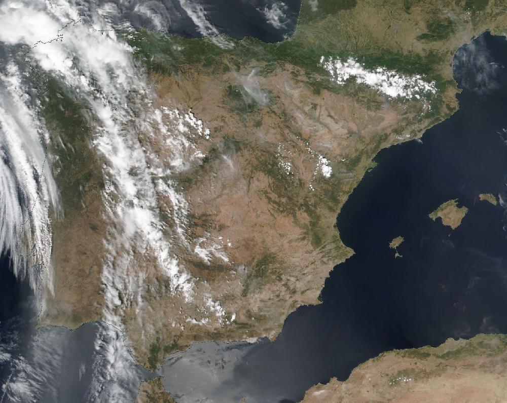
June 2022 heatwave: heat across much of Spain, 12–18 June 2022
12 June 2022 to 18 June 2022. Updated 26 October 2026.
AEMET records a heatwave from 12 June to 18 June 2022.
Over 7 days, 77 of Spain's 182 warning zones had an orange or red warning for heat: 234 zone-days at orange or red, 3 of them red. The day with the most zones at orange or red was 17 June, with 49 zones.
15 June was the day with the most people in zones under an orange or red warning: 17.4 million people live there (INE municipal register, 2025).
How it compares
- It is number 12 of 119 episodes since June 2018 by zone-days at orange or red.
- Among the 37 heat episodes, it is number 10.
- There hadn't been a heat episode this widespread since August 2021.
Day by day
| Day | Red | Orange | Yellow | Orange or red warnings for |
|---|---|---|---|---|
| Sun 12 June | — | 19 | 51 | heat |
| Mon 13 June | — | 28 | 51 | heat |
| Tue 14 June | — | 37 | 75 | heat |
| Wed 15 June | — | 47 | 67 | heat |
| Thu 16 June | — | 27 | 81 | heat |
| Fri 17 June | — | 49 | 87 | heat |
| Sat 18 June | 3 | 24 | 68 | heat |
Zones with a warning each day, at their highest level that day.
The zones
And 74 more zones with yellow warnings only.
What AEMET's stations measured
The most measured in the zones with an orange or red warning, on their warning days: a high of 44.5 °C at Andújar (Morena y Condado) on 17 June.
| Zone | Highest temperature |
|---|---|
| Morena y Condado | 44.5 °C Andújar · 17 June |
| Gipuzkoa litoral | 43.9 °C Donostia / San Sebastián Aeropuerto · 18 June |
| Sierras de Alcudia y Madrona | 43.2 °C Almadén · 12 June |
| Valle del Tajo | 43.1 °C Talavera de la Reina · 16 June |
| Campiña cordobesa | 42.9 °C Montoro · 13 June |
| La Mancha albaceteña | 42.9 °C Villarrobledo · 14 June |
| Vegas del Guadiana | 42.9 °C Don Benito · 12 June |
| Campiña sevillana | 42.7 °C Morón de la Frontera · 12 June |
| Ibérica zaragozana | 42.6 °C La Almunia de Doña Godina · 18 June |
| Ribera del Ebro de Zaragoza | 42.6 °C Quinto · 18 June |
| La Mancha de Ciudad Real | 42.5 °C Villanueva de los Infantes · 17 June |
| Pirineo de Lleida | 42.4 °C Llimiana · 16 June |
| La Siberia extremeña | 42.3 °C Navalvillar de Pela · 12 June |
| Bajo Aragón de Teruel | 42.2 °C Hijar · 15 June |
| Tajo y Alagón | 42.2 °C Navalmoral de la Mata · 15 June |
| Vertiente cantábrica de Navarra | 42.2 °C Bera · 18 June |
| Bizkaia litoral | 42.1 °C Forua · 18 June |
| Cuenca del Genil | 42.1 °C Granada Aeropuerto · 14 June |
| Depresión central de Lleida | 42.1 °C Torà · 16 June |
| Valle del Guadiana | 42.1 °C Puertollano · 17 June |
And 57 more zones with an orange or red warning.
For each zone, the highest value its AEMET stations measured on the episode's warning days (the lowest, for the low temperature), with the station and the day. Rain from 07:00 to 07:00 UTC; gust: the day's strongest. It is what the zone's stations measured, not every town, and a measurement, like a warning, is not damage.
How AEMET's warnings unfolded
The red warning reached 3 zone-days, and AEMET always issued it ahead of time (median: 27 h). The first warning of any level for those same days had come a median 35 h earlier.
| Zone | Day | First warning | Red issued | For · notice |
|---|---|---|---|---|
| Ribera del Ebro de Navarra | Sat 18 | Wed 15 Jun, 23:50 orange | Fri 17 Jun, 10:48 | 14:00 · 27 h before |
| Ribera del Ebro de Zaragoza | Sat 18 | Wed 15 Jun, 23:50 orange | Fri 17 Jun, 10:57 | 14:00 · 27 h before |
| Ribera del Ebro de La Rioja | Sat 18 | Wed 15 Jun, 23:50 orange | Fri 17 Jun, 11:06 | 14:00 · 27 h before |
The full timeline: 325 changes at orange or red
Only the changes involving red are listed: there were 325 in all.
Fri 17 June
- Ribera del Ebro de Navarra: Raises the heat warning to red: Saturday 18, 14:00–21:00. Highs of 42 °C.
- Ribera del Ebro de Zaragoza: Raises the heat warning to red: Saturday 18, 14:00–21:00. Highs of 42 °C.
- Ribera del Ebro de La Rioja: Raises the heat warning to red: Saturday 18, 14:00–21:00. Highs of 42 °C.
AEMET's issue times, in mainland Spain time (Canary Islands in island time). Notice is the time from issue to the first hour the warning covered; a warning issued “for the current hour” runs from the hour it is published.
What this says and what it doesn't
A warning is an AEMET forecast, not a measurement or a damage report: it says a threshold is expected to be exceeded in a zone. A warning is not damage; a zone is not a building.
A zone-day is one warning zone with a warning on one day. Ten zones at orange on the same day make ten zone-days. A day with several warnings in one zone counts once, at its highest level.
Each zone has its own thresholds, so an orange heat warning in Asturias doesn't mean the same temperature as in Córdoba. More in how warnings work.
To cite: “Climaviso, from AEMET warnings”.
Source: official AEMET warnings, collected by Climaviso since June 2018.
← Previous episode · All episodes · Next episode → · 2022 warnings review